
Where Precision Meets Progress
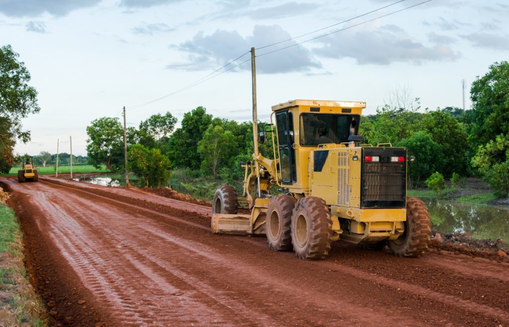
At BGIT, we provide end-to-end geospatial and engineering solutions designed to build modern infrastructure and drive long-term community growth. From field construction and topographic surveys to advanced digital design mapping and specialized equipment services—every project reflects our dedication to accuracy, trust, and superior quality.
Field Construction
At BGIT, we provide end-to-end geospatial and engineering solutions designed to build modern infrastructure and drive long-term community growth. From field construction and topographic surveys to advanced digital design mapping and specialized equipment services—every project reflects our dedication to accuracy, trust, and superior quality.
Survey & Mapping Services
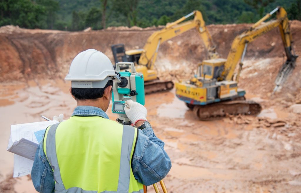
Great projects start with accurate ground data. We conduct comprehensive field investigations and topographic surveys to map out the terrain, catch potential obstacles, and chart existing utility paths. By gathering pinpoint measurements before heavy machinery moves in, we keep your project safe, on schedule, and free from costly design errors.
Design Services
We turn complex raw field data into smart, interactive digital blueprints. Using advanced Geographic Information Systems (GIS) and 2D/3D vector mapping, we create detailed terrain models and network designs. This allows project managers to visualize underground assets clearly, run hydrological simulations, and make fast, data-driven decisions on the fly.

Equipment Services
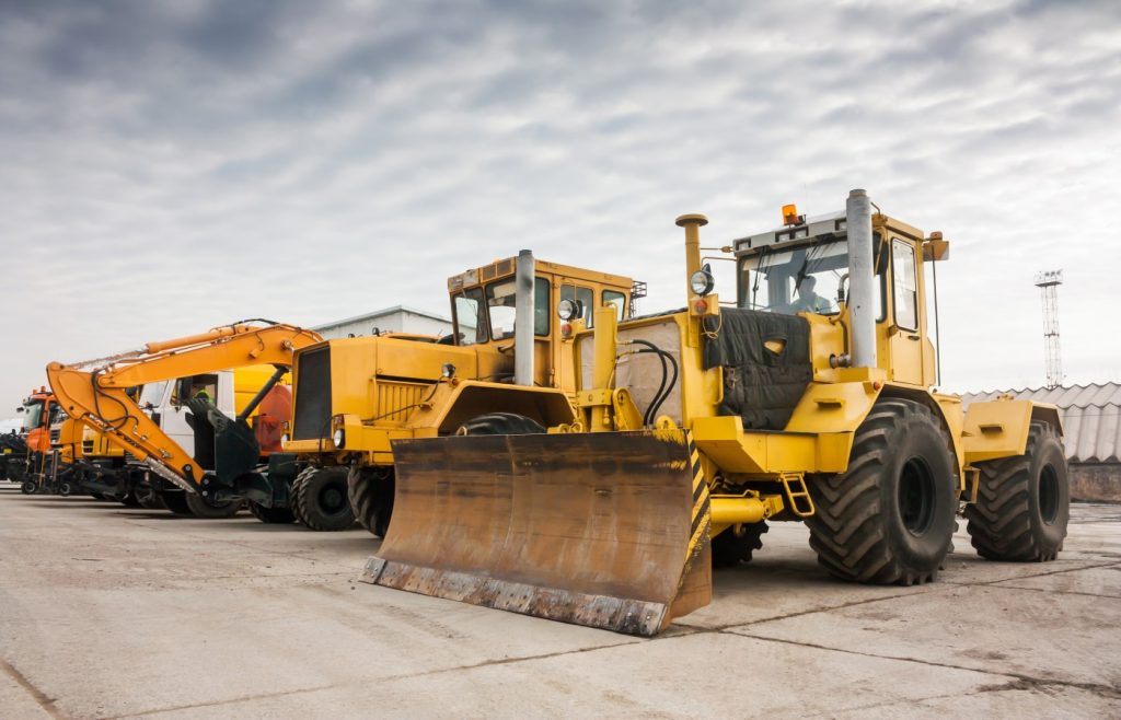
Beyond project execution, we provide reliable heavy machinery support to the broader construction and engineering industry. We own, maintain, and rent out an advanced fleet of specialized machinery—including heavy-duty horizontal directional drilling (HDD) rigs, excavators, and high-precision digital survey tools. Whether supporting our own operations or supplying partner projects, our machinery is kept project-ready to maximize job site productivity.