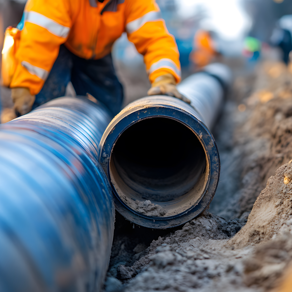
01
Field Construction
Reliable Utility Networks & Mapping
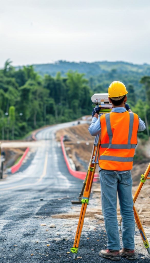
02
Survey & Maping Services
Accurate Surveys for Every Project.
03
Design Services
Water Network Design
04
Equipment Services
Advanced Machinery Rental Solutions